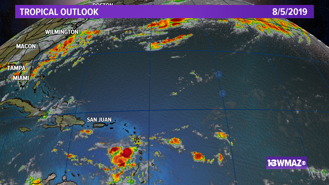
Our weather team continues to watch the tropics, and there have been a few batches of storms with potential to form, but ultimately, they fall apart.
As of Sunday evening, the National Hurricane Center had no confidence in anything forming.


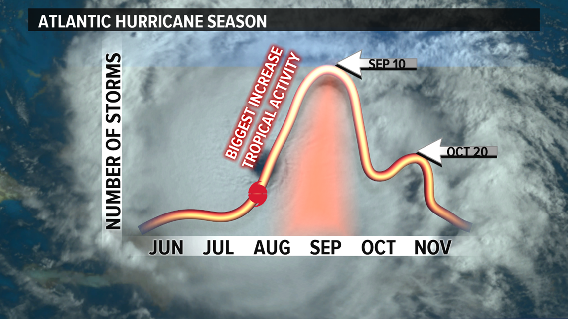
Believe it or not, August is the month that kicks off the time of year we are suppose to see an increase in tropical activity as we head towards the peak of season on Sept. 10. So why hasn't anything come to fruition?


First, let's talk water vapor. The orange-brown color on water vapor satellite indicates dry air.
There is plenty of it off the African coast where many of our tropical systems originate.


Dry air to tropical systems is just like taking gas out of the gas tank in your car — it does not give tropical systems the fuel they need to strengthen.
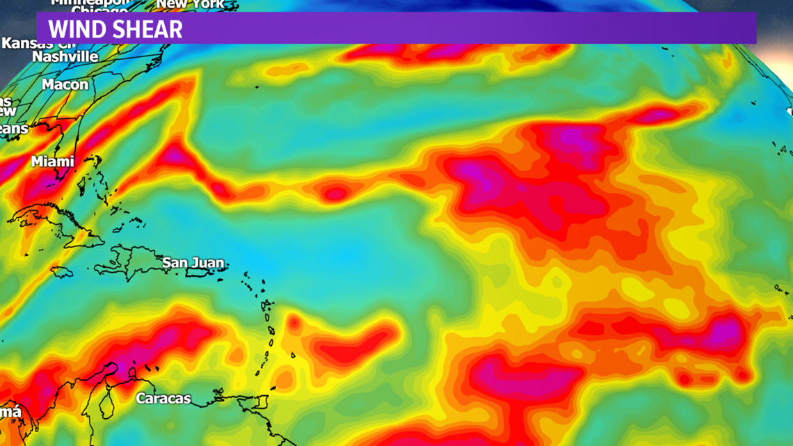
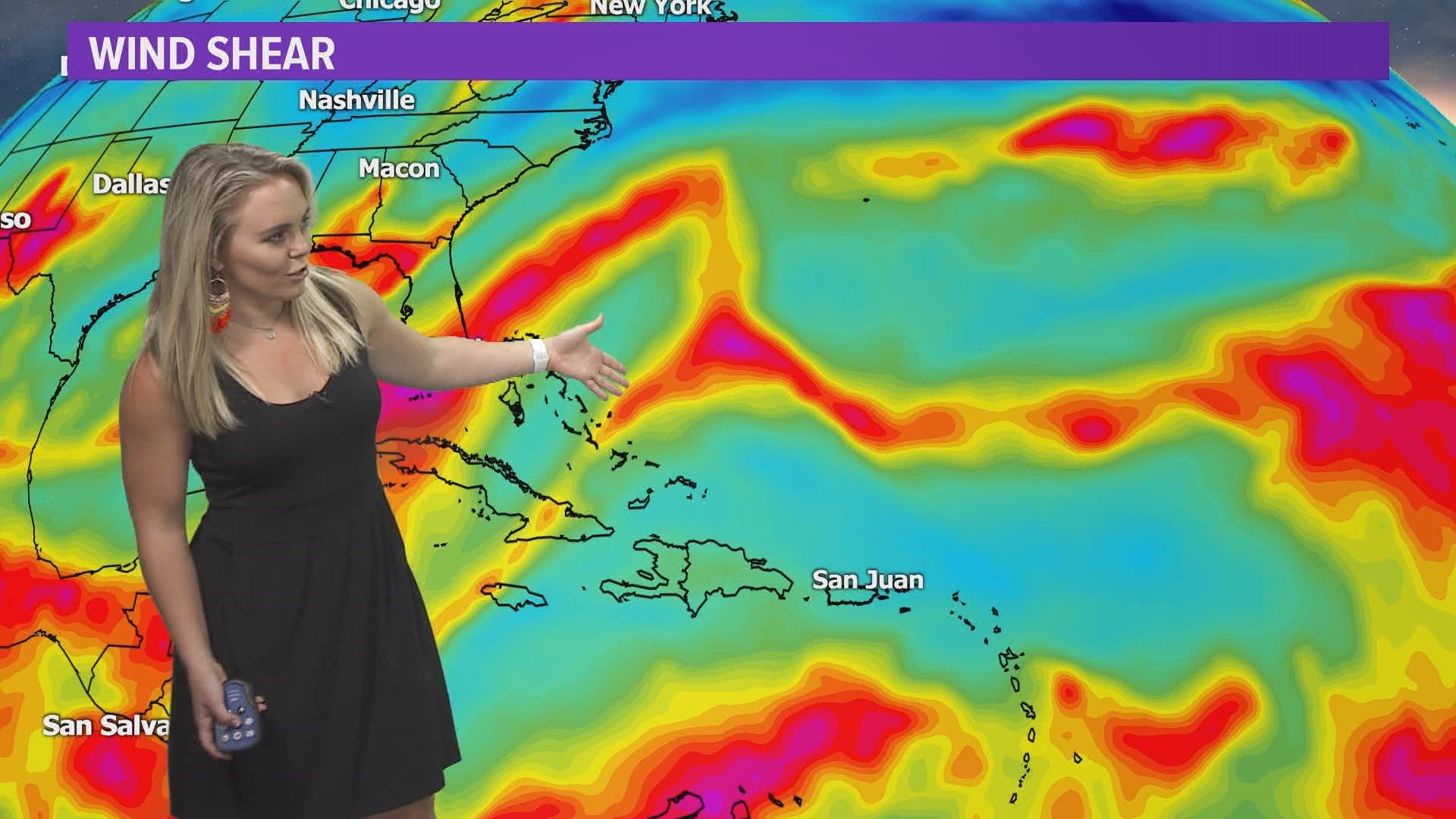
Second is wind shear.
The red and purple you see on the map indicates high levels of wind shear which tears storms apart.


Not only is there high shear off the African coast, but there are little belts of high wind shear creating road blocks for areas of interest near the Greater Antilles and the Florida coast, preventing storms from getting that textbook symmetrical-cyclone look.
This is favorable for us, but the odds are not in favor of the tropics.

