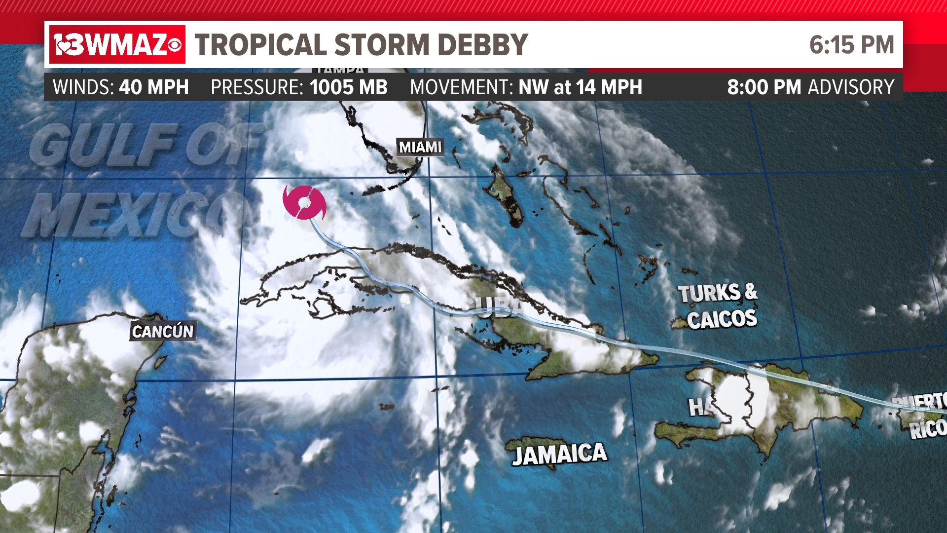
MACON, Ga. — We officially have our fourth named storm of the year as Tropical Storm Debby formed over the Gulf of Mexico. The storm is showing signs of organization and strengthening.


The latest forecast tracks continue to increase in certainty in landfall around the Big Bend region of Florida. Due to the extended time over the Gulf of Mexico, the National Hurricane Center now expects this storm to make landfall as a Category 1 hurricane sometime Sunday night into Monday morning. The system then looks to cross into the southeastern corner of Georgia.

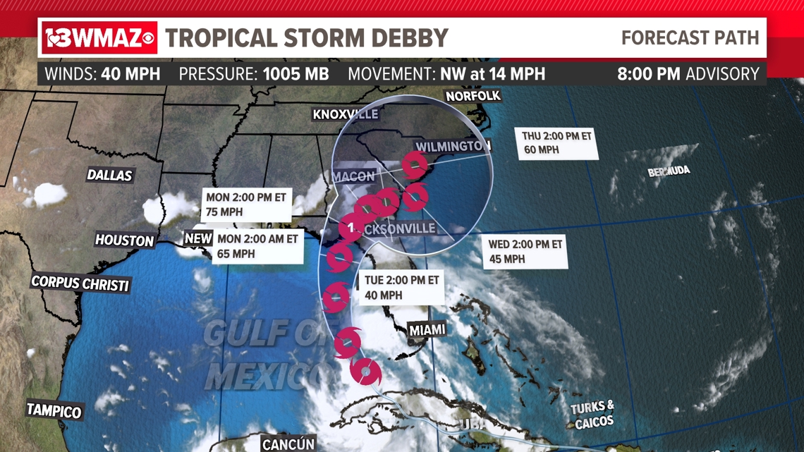
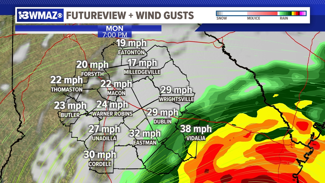
Models have been hinting that the storm will move into inland Georgia, increasing the chances that Central Georgia will face some impacts. Currently, the FUTUREVIEW GRAF model has the storm impacting our southeastern counties on Monday afternoon and stalling over those areas until Tuesday afternoon. This would bring a prolonged period of rainfall, which would increase the chances of flooding. We could also see winds of up to 35-40 miles per hour in the south-eastern counties

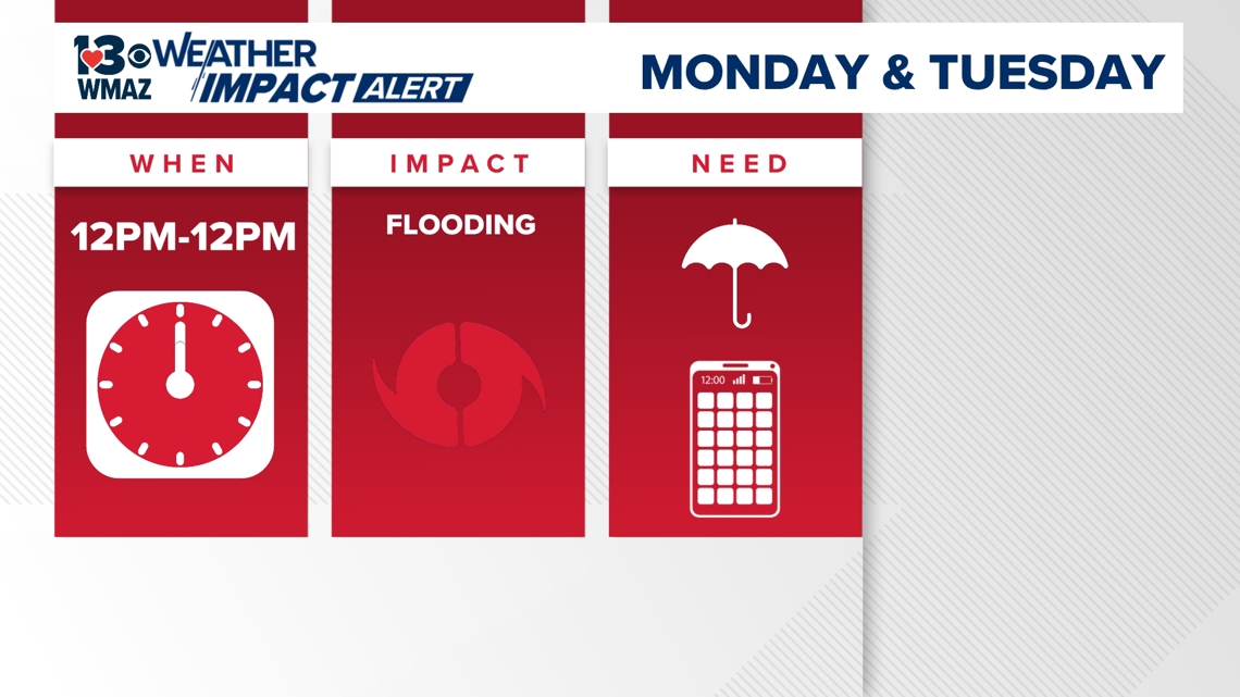
With this, we have issued our first Weather Impact Alert days for Monday and Tuesday.

Once the storm approaches the Atlantic, some models indicate a possible "loop around" back into South Carolina and Georgia. Uncertainty still remains if this would stall over South Carolina or head more inland.

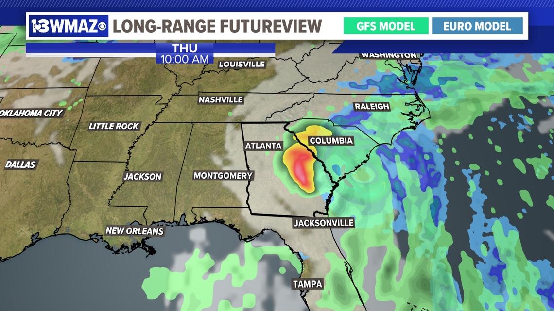
With still a good amount of uncertainty just a couple days out, it will be very important to stay updated with us and keep an eye on the forecast as it can change very quickly.

