MACON, Ga. — Laura was the latest hurricane to undergo the process of rapid intensification. Rapid intensification is defined as an increase in the winds of 35MPH in under 24 hours.
Laura went from a 105MPH category 2 hurricane to a 150MPH category 4 hurricane, an increase in 45 miles per hour, on just Wednesday alone.
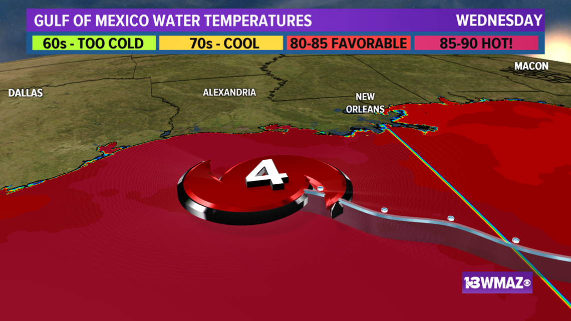
Several ingredients must be in place for rapid intensification to take place. First, the hurricane needs to be over extremely warm ocean water of 86 degrees or warmer.
The waters south of Louisiana on Wednesday happened to be some of the warmest on planet earth and met this criteria.


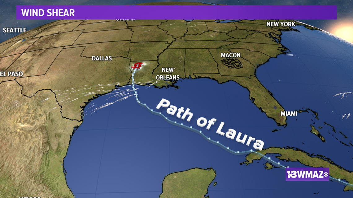
Second, the hurricane must be in an environment with little to no wind shear. Wind shear disrupts the structure of hurricanes.
A sheared storm isn't vertically stacked, won't have a clear eye, and won't be able to "breathe" as efficiently as a vertically stacked, shear-free storm. Laura had very little if any shear affecting her structure.


Third, the warm water must be sufficiently deep or the storm has to be moving fast enough that the upwelling of cooler water doesn't disrupt the intensification.
Had Laura been moving more slowly as it approached land, cooler, upwelled water would have limited how much strengthen Laura could have achieved.
Her quick forward motion contributed to her rapid strengthening in this situation.
All three made Laura an extremely dangerous storm that intensified right up to the point of landfall in southern Louisiana.

