MACON, Ga. — Hurricane Ida is close to making landfall in southern Louisiana on Sunday. The category 4 hurricane is packing sustained winds of 150 mph.
Ida will track north through southern Louisiana and Mississippi before making a right turn through the Tennessee Valley. As the Ida remains inland through Monday, it will weaken into a tropical depression.
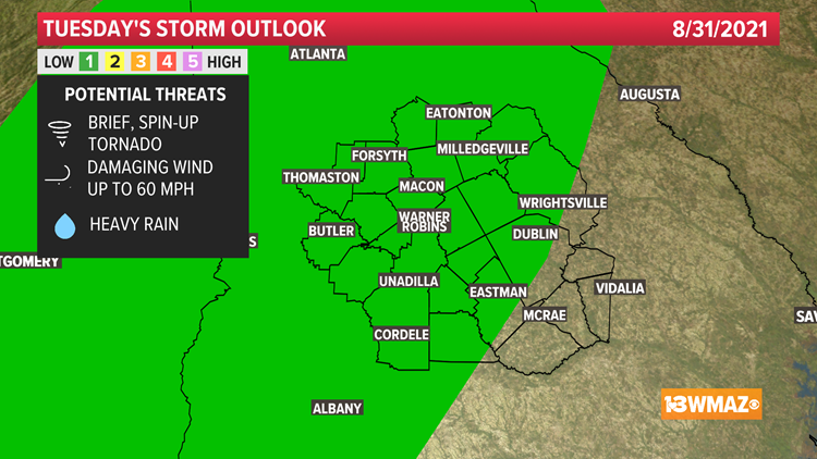
On Tuesday, the outer bands of forecasted Tropical Depression Ida will wrap around through Central Georgia. Because of that, a Level 1 out of 5 severe storm risk has been issued for much of our area. The outer bands could create brief, spin-up tornadoes.


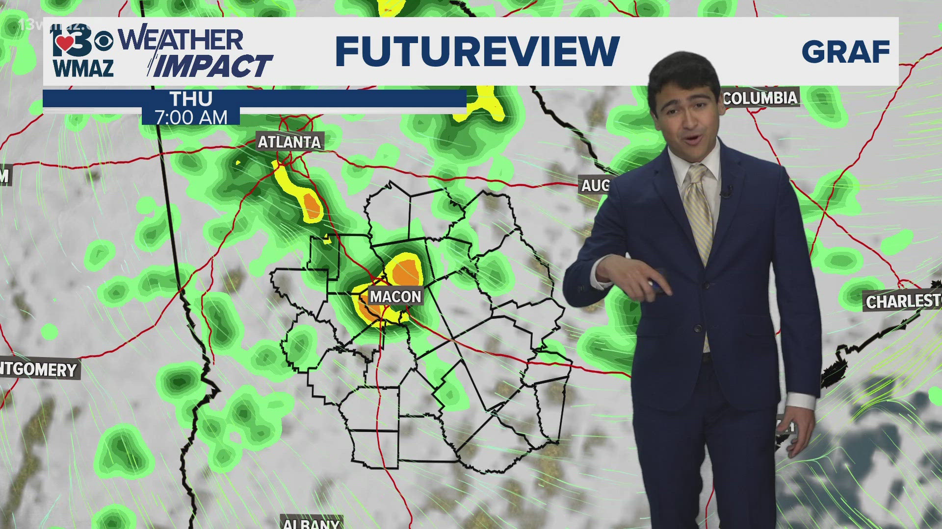
Additionally, damaging winds and periods of heavy rain fall are also possible on Tuesday. Make sure you stay weather aware and have multiple ways of receiving critical weather information!
For more tropical updates, be sure to keep up with the 13WMAZ Weather Team on-air and online.


