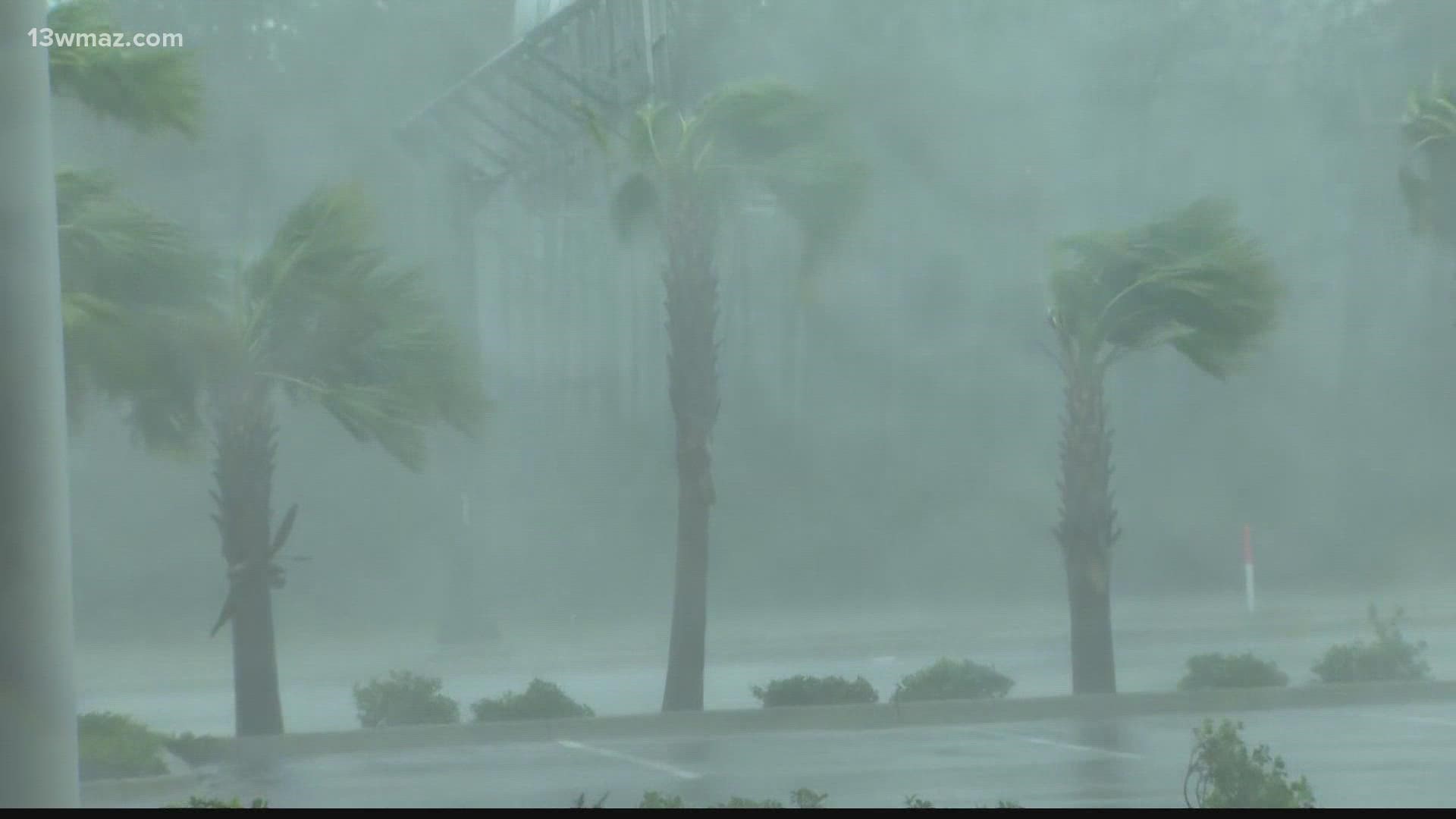
With Ian in the Caribbean Sea, the term "rapid intensification" is being tossed around by meteorologists. Have you ever wondered what that means and what the threshold is?
The National Hurricane Center defines rapid intensification as an increase in wind speed of a tropical storm or hurricane by 35 mph in 24 hours.
To get rapid intensification, you need...
- warm sea surface temperatures (near or above 86°)
- low wind shear (no changing of the wind direction with height)
- and no dry air
Rapid intensification can be dangerous for those along the coast because of the difficulty forecasting it. While the forecasting of hurricane tracks have improved significantly in recent years, the forecasting of intensity has not kept up with the track improvement.
As Ian nears the Gulf of Mexico, the National Hurricane Center is warning that rapid intensification could occur, potentially up to category 4 strength at its peak intensity.
A recent example of this is Hurricane Michael from 2018. The storm made landfall as a category 5 in Mexico Beach, Fla., after being initially forecasted to be a category 2 at landfall just days earlier.
Hurricane Laura in 2020, which made landfall near Lake Charles, La., was another example of a storm undergoing rapid intensification as it approaches the Gulf coastline.
In 2020, ten of the thirteen hurricanes underwent rapid intensification at some point in their lifespan, according to the National Centers of Environmental Information.
STAY ALERT | Download our FREE 13WMAZ app now to receive breaking news and weather alerts. You can find the app on the Apple Store and Google Play.
STAY UPDATED | Click here to subscribe to our Midday Minute newsletter and receive the latest headlines and information in your inbox every day.
Have a news tip? Email news@13wmaz.com, or visit our Facebook page

