We're approaching the finish line of the 2024 Atlantic hurricane season, but it's not quite over yet. Activity continues to be more scarce in the tropics, but the season will officially end on November 30th.
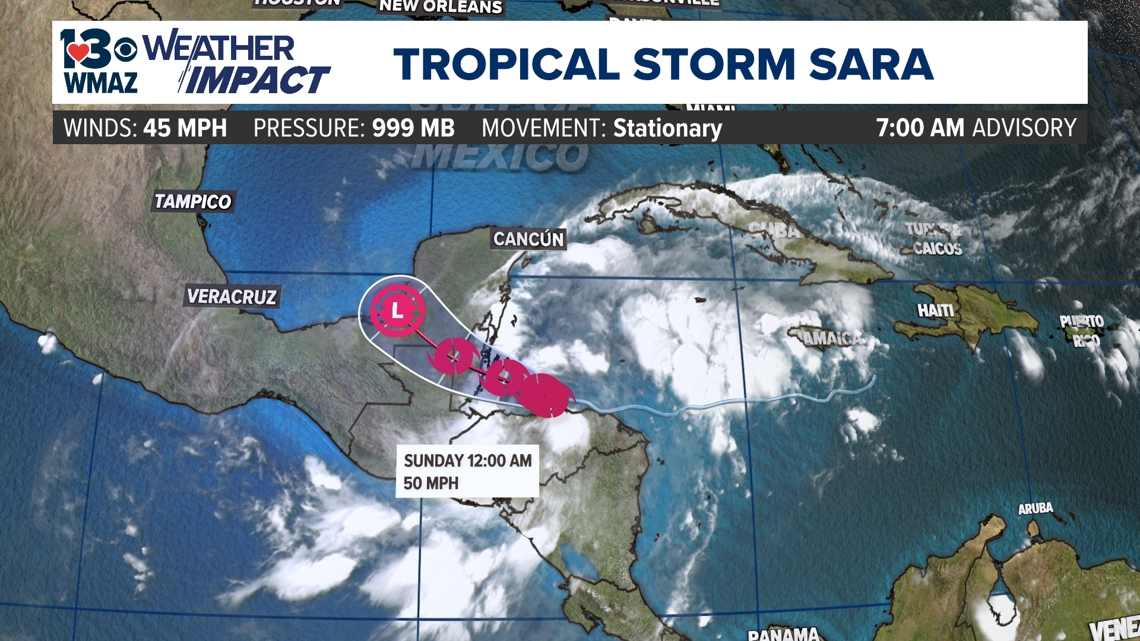
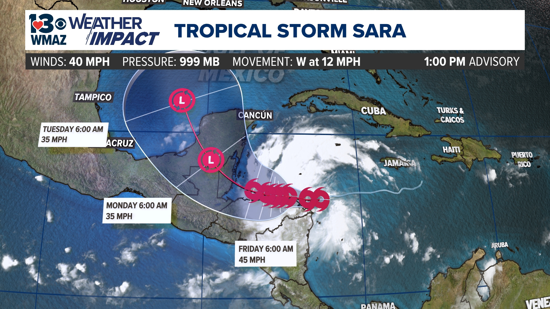
Once Tropical Depression Nineteen is now Tropical Storm Sara off the coast of Honduras in the Caribbean Sea.


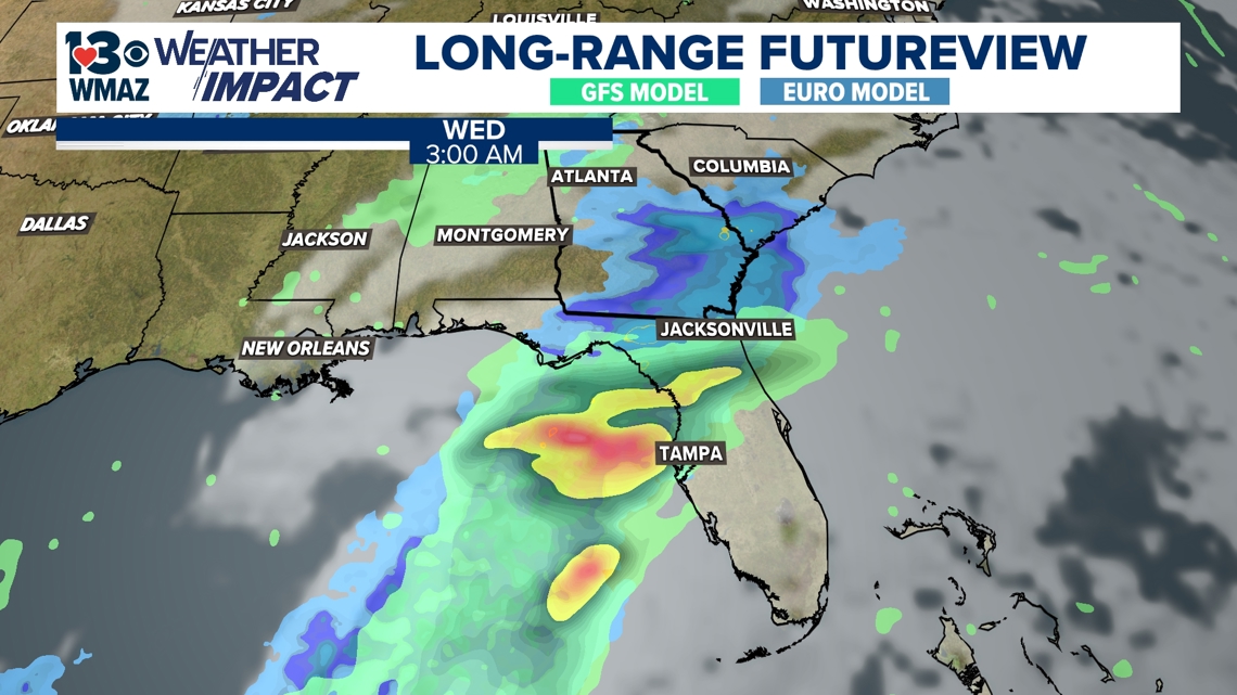
With the cone path, the system is expected to continue to move over Central America before turning northwest over the Yucatan peninsula, where its interaction with land will cause it to weaken. This is as far as the cone does go as of now, but many longer-range models are saying this system will move into the Gulf of Mexico and take a turn toward the Florida peninsula during the midweek next week.


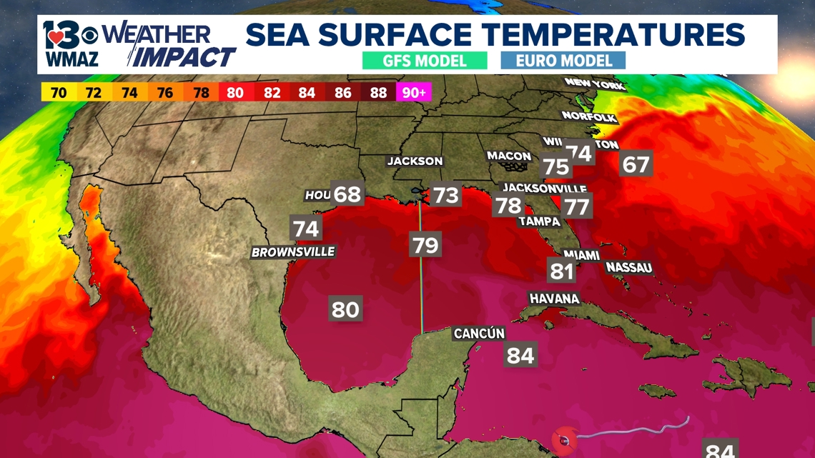
Of course, this is anything but certain right now, but fair agreement in all the different long-range models hints at a good chance of this happening. The Gulf of Mexico currently has sea surface temperatures in the upper 70s and low 80s, which is ideal for tropical system development and would allow this system to strengthen back into a tropical storm or even hurricane after weakening over land.


The good news is that another cold front will approach the southeast United States early next week. This front is the strongest one of the fall season so far and acts as a steering mechanism for pushing the track of this system farther south of central Georgia. Still, some outer bands of rain and gusty winds could be possible for the area if the front interacts with this tropical moisture. There are still a lot of question marks with this system, and what path it does take, so it will be something to keep a close eye on, given the sensitivity of the impacts that not only we've seen from this hurricane season but many of our neighbors as well.

