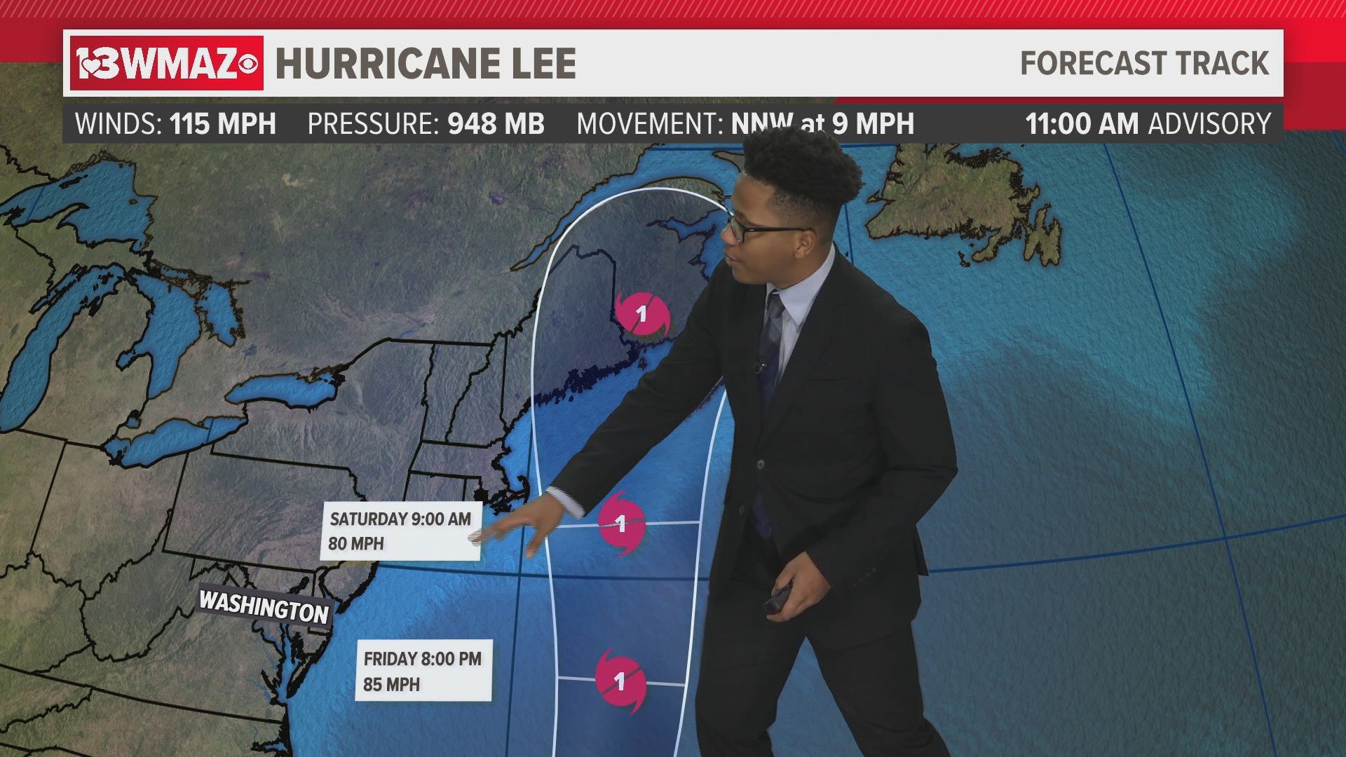
While Hurricane Margot stays out at sea, Hurricane Lee could impact the northeast.
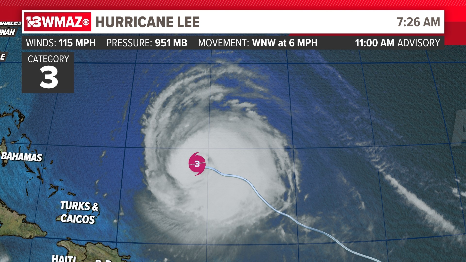
Lee remains a Category 3 hurricane, and could impact the New England coast.

Hurricane LEE
Hurricane Lee is north of Puerto Rico and Hispaniola as a Category 3 hurricane. Winds are up to 115 mph. Pressure has decreased to 948 mb, and Lee is moving north-northwest at 9 mph. The average speed of a hurricane is typically between 15-20 mph. Lee was initially a Category 5 hurricane, but as it continues to navigate the western Atlantic Ocean, it looks like it has already peaked in intensity. According to the National Hurricane Center, Lee will become a Category 2 hurricane sometime in the next day or two, and continue to decrease in intensity. The NHC says Lee will turn northward fairly soon, keeping it far from the eastern coast. As of now, parts of the coast could see strong rip currents and large waves as the storm rotates farther out into the Atlantic.


Places like the northern Leeward Islands, the Virgin Islands, Puerto Rico, Hispaniola, the Turks and Caicos Islands, the Bahamas, and Bermuda could see dangerous surf and life-threatening rip currents.


The NHC is monitoring weather models to determine if this system will make landfall on the New England coast, or further up the coast in Canada.
Hurricane Lee was the first category-five hurricane this season.
Tropical Storm MARGOT
Hurricane Margot is in the Central Atlantic Ocean. Winds are up to 90 mph. Pressure has dropped to 970mb, and Margot is moving north-northwest at 7mph. The average speed of a hurricane is typically between 15-20 mph. According to the National Hurricane Center, Margot will peak at Category 1 status. The NHC says Margot will continue northward, away from land.


Tropical Outlook NORTH ATLANTIC
There is one area of interest off the coast of Africa, with a 50% chance of development over the next two days and an 80% over the next week. If this tropical wave is to form, the next name on the list will be Nigel. It is too early to tell if this system will have any impacts anywhere in the United States, but we will keep a close eye on it as it intensifies and moves across the Atlantic.


