MACON, Ga. — When summer approaches, so does the threat of hurricanes.
However, certain months take on different personalities.
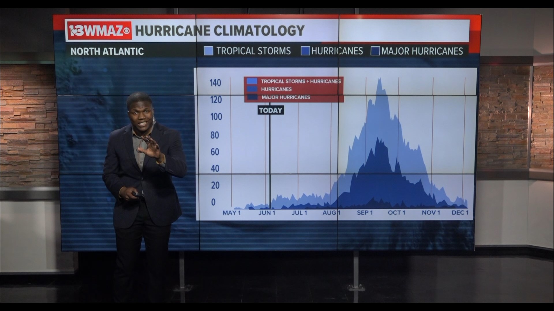
On average, we don't see our first named storm until around June 10th near the Gulf and the southeastern coast for both June and July. They are typically quiet compared to the peak of hurricane season in August and September.
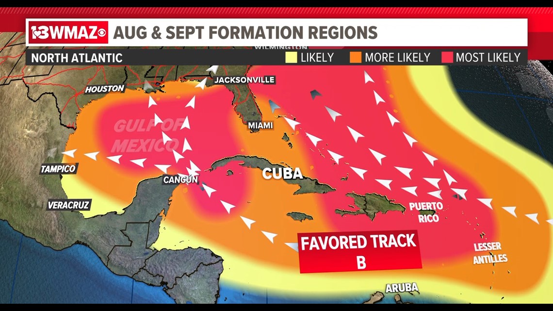
This is where we see an increase activity close to home, and also more storms forming in the basin of the tropical Atlantic.
It is the most active time during the season, when the most tropical storms and the most hurricanes appear. During August and September, nearly the entire Atlantic comes into play for possible storm activity.


The Mid Atlantic basin becomes the main development region for the birth and production of tropical waves from the coast of Africa. That's where they can become the beasts that bear down on the Caribbean and the Gulf of Mexico.
Things begin to change around October. Activity begins to wind down, and the tracks shifts generally towards the greater eastern seaboard and areas of the coastal Northeast. Then things begin to peter out during November.
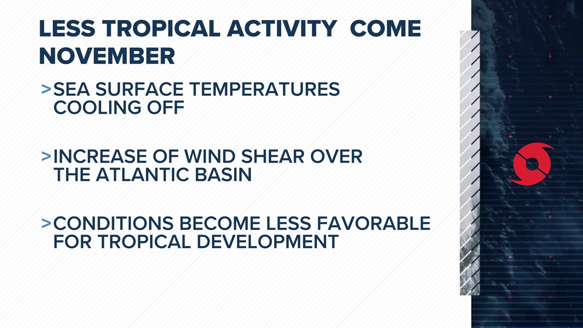
So why do we see less activity in November?
Typically, sea surface temperatures decline later in the year, and they are the main fuel for Hurricanes.
Wind shear begins to increase over the Atlantic basin during that time, causing anything tropical to be tilted and limited in strength.
Overall, it leads to less tropical activity and the eventual end of hurricane season on November 30th.


