MACON, Ga. — When we start making predictions about how active our hurricane season is going to be, you'll hear meteorologists talk about El Niño and La Niña, but what do the phases entail and what influences them?
We'll start with La Niña. It's the phase we've been in for a couple of years now, and will be the phase we stay in for the 2022 season.
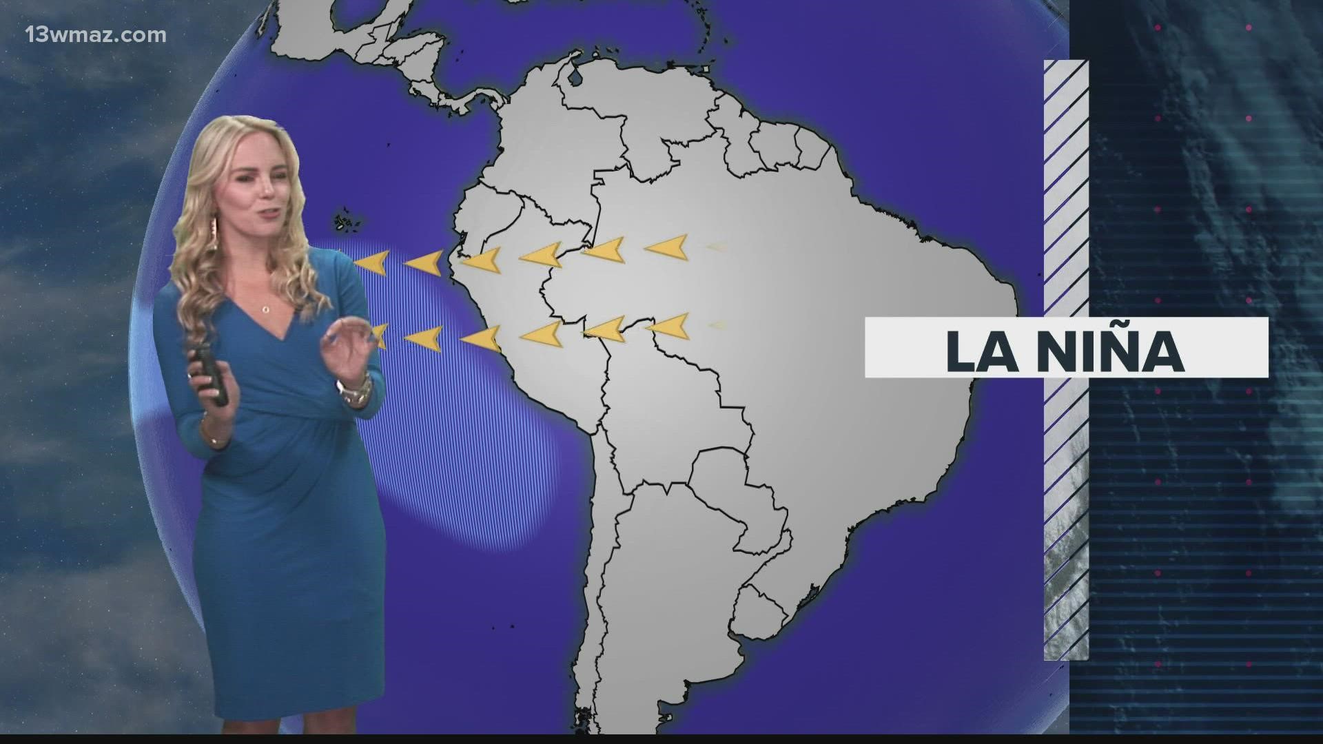
La Niña occurs when winds in the mid-latitudes called trade winds speed up. When this occurs, water warmed by the sun at the surface pushes away, allowing cooler water from deep in the ocean to upwell.
When this cooler water upwells, a cooler temperature profile is created in the Pacific off the South American coast.
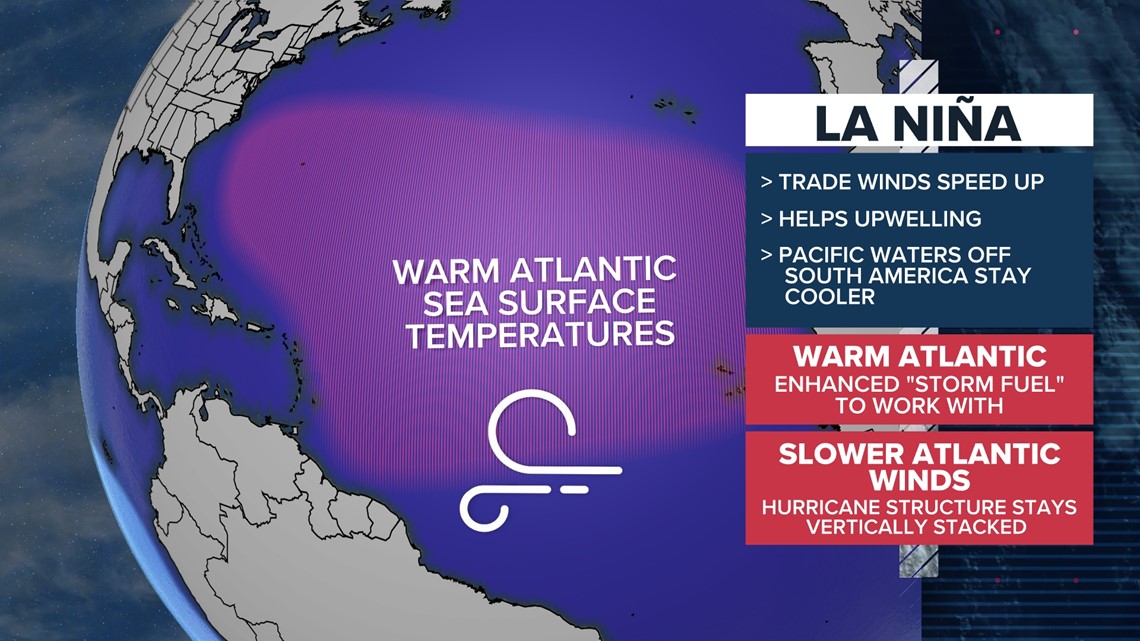
In an effort for the earth to maintain balance, the water in the Atlantic responds by becoming warmer. This warmer water provides fuel for tropical systems.
Not only is the water warmer in La Nina, but the winds in the Atlantic slow down, which allows hurricanes to maintain a vertically stacked structure -- creating a healthier storm.


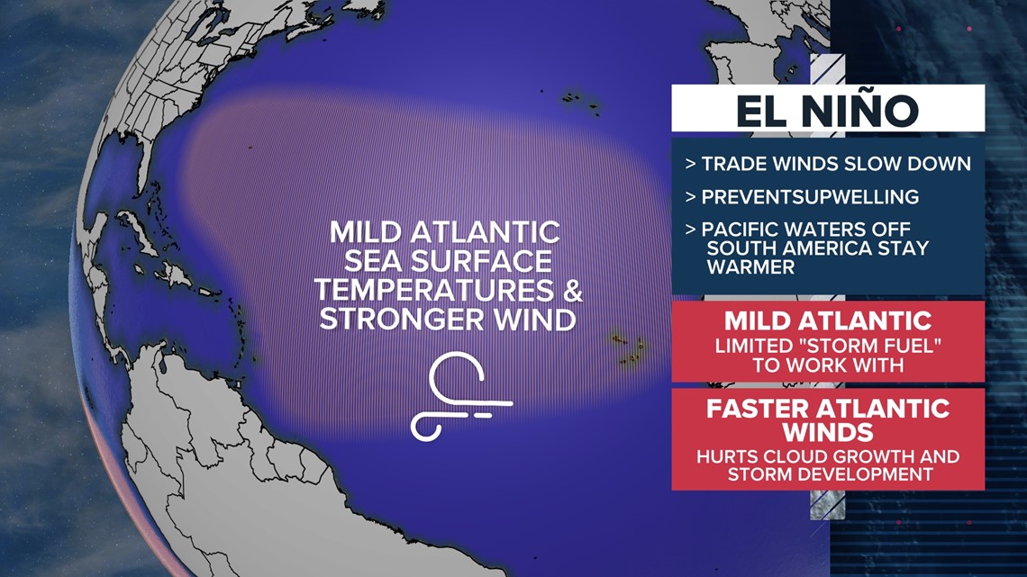
On the other end is El Niño. It forms when the trade winds weaken and slow down. This limits the upwelling of cooler water off of South America, keeping the Pacific warmer. The Atlantic responds by staying more mild.
The milder temperatures limit the warm water fuel for hurricanes. When it comes to wind, El Niño causes faster winds in the Atlantic. This faster speed creates more wind shear, which tears apart storms leading to a weaker storm structure.
El Niño typically brings a less active hurricane season.


